Home / Sample Flights / Two Moon Park
Two Moon Park by drone at sunset
An evening flight at sunset in the Billings Heights: the trail and boardwalk through the cottonwoods, a buck in the clearing, and the creek and footbridge from above.
1 min 6 sec, no sound. Shot November 7, 2026, in the evening. Watch it in 4K on YouTube.
What the video shows
The video follows the trail and the boardwalk through the cottonwoods, finds a buck standing in a clearing, and looks down on the creek and the footbridge from above.
It ends with the sun going down over the valley.
About Two Moon Park
Two Moon Park is a Yellowstone County park on the edge of the Billings Heights, off Bench Boulevard, in a bend of the Yellowstone River. The upper park overlooks the river. The lower park sits in the river bottom, with about four miles of trails through the cottonwoods.
It is named for Two Moon, a Northern Cheyenne chief who fought at the Battle of the Little Bighorn, according to Visit Billings.
What a flight like this is for
This is the kind of overview we shoot for ranch and land listings: where the water runs, how the trails and access lay out, and what it looks like on the ground. See ranch and land aerial photography for what a land shoot includes, or real estate drone photography for listings.
Drone photography and video in Billings is $95 for an hour on site, with edited photos and the raw video included. How pricing works.
More sample flights
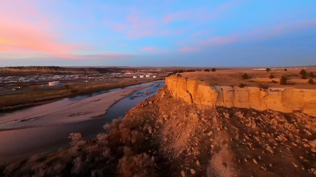 Watch Four Dances by drone
Four Dances
An evening flight on the cliffs above the Yellowstone River: the trailhead and the trail through the grass, the sandstone hoodoos on the rim and a pink sunset over the city.
1 min 19 sec
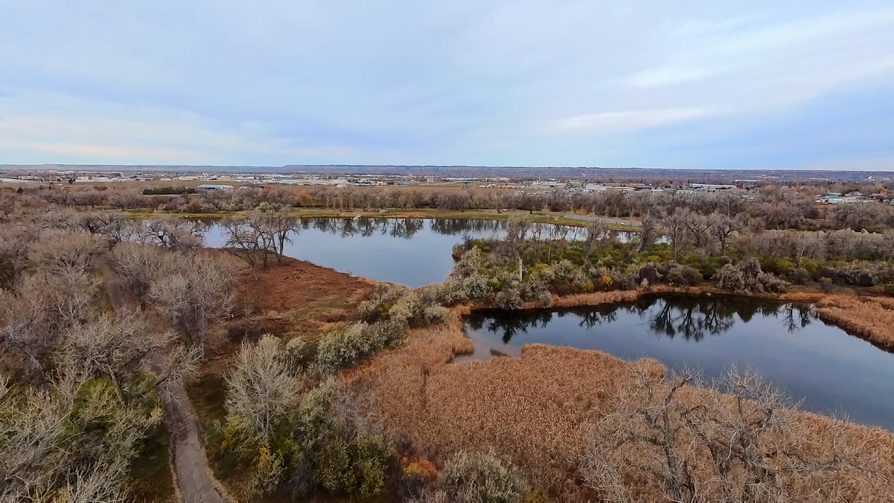 Watch Riverfront Park by drone
Riverfront Park
A November morning along the Yellowstone River: ducks on the lake, the ponds and cattail marsh, the cottonwood trails and the river below the bluffs.
1 min 12 sec