Home / Drone Services
Drone services in Billings, Montana
Aerial photos and video for real estate listings, construction progress, roof and property inspection, ranch and land, and FPV flythroughs. Shot by a local pilot, with every flight planned around airspace and weather.
What we fly
Real estate drone photography and video
Aerial listing photos of the home and lot from several heights and angles, plus wide shots that show the street, nearby parks and schools and the view toward the Rims or the Beartooths. For listing agents, brokerages and builders selling new homes.
Construction progress
Progress photos flown from the same points, heights and headings on every visit, so each month lines up with the last. For general contractors, developers and owners' reps.
Roof and property inspection
Close, high-resolution photos of roofs, gutters, chimneys, flashing and siding, taken without a ladder, a lift or anyone walking a steep roof. For roofers, insurance adjusters and property managers.
Ranch and land aerials
High overview stills and slow aerial video that show acreage, water, fences, buildings and access roads. For land and ranch brokers, sellers and operators.
FPV flythroughs
One-take flythroughs that move through the front door, down the hallway and out over the deck. For standout listings, restaurants, breweries, gyms and event venues.
Commercial sites
Aerial photos and video of commercial buildings, lots, retail sites and developments in Billings and Yellowstone County, for brokers, owners, developers and marketing teams who need the whole site, its access and its surroundings in one frame.
Edited aerial video
Any shoot can end in a finished video, cut in horizontal for MLS, Zillow and YouTube and vertical for Instagram and TikTok. Editing is $45 an hour.
What every job includes
- Flight planning, including airspace checks and any FAA authorization the location needs
- Up to 15 edited, color-corrected photos, sized for MLS, websites and social
- The raw video from the shoot
- Delivery by download link within 24 hours of the flight
- One price for the job in writing before anything is booked
What it costs
Every service is on the same rate: $95 for an hour on site, with a one-hour minimum. Editing a finished video, or photo editing beyond the standard color correction, is $45 an hour. How pricing works.
How high we fly
FAA rules cap drone flights at 400 feet, and each kind of shoot has its own working height.
- Ranch and land: 200 to 400 ft
- Construction progress: 100 to 300 ft
- Real estate: 40 to 200 ft
- Roof and property inspection: 20 to 60 ft
- FPV flythroughs: 0 to 30 ft
Much of Billings sits inside the airport's Class C airspace. Where you can fly a drone in Billings explains what that means for a shoot.
Where we work
We are based in Billings and work in Billings, Laurel, Lockwood and the rest of Yellowstone County. Travel outside the Billings area is quoted with the job.
See the work
Three sample flights around Billings, each a little over a minute.
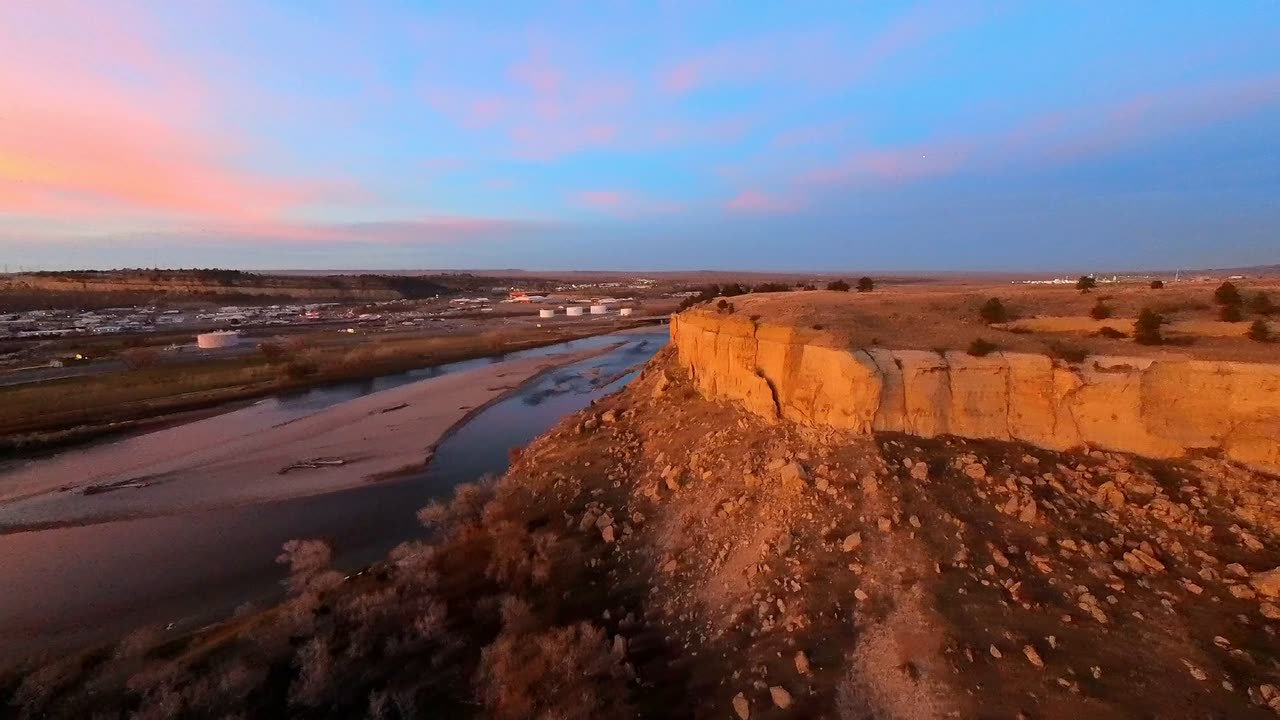 Watch Four Dances by drone
Four Dances
An evening flight on the cliffs above the Yellowstone River: the trailhead and the trail through the grass, the sandstone hoodoos on the rim and a pink sunset over the city.
1 min 19 sec
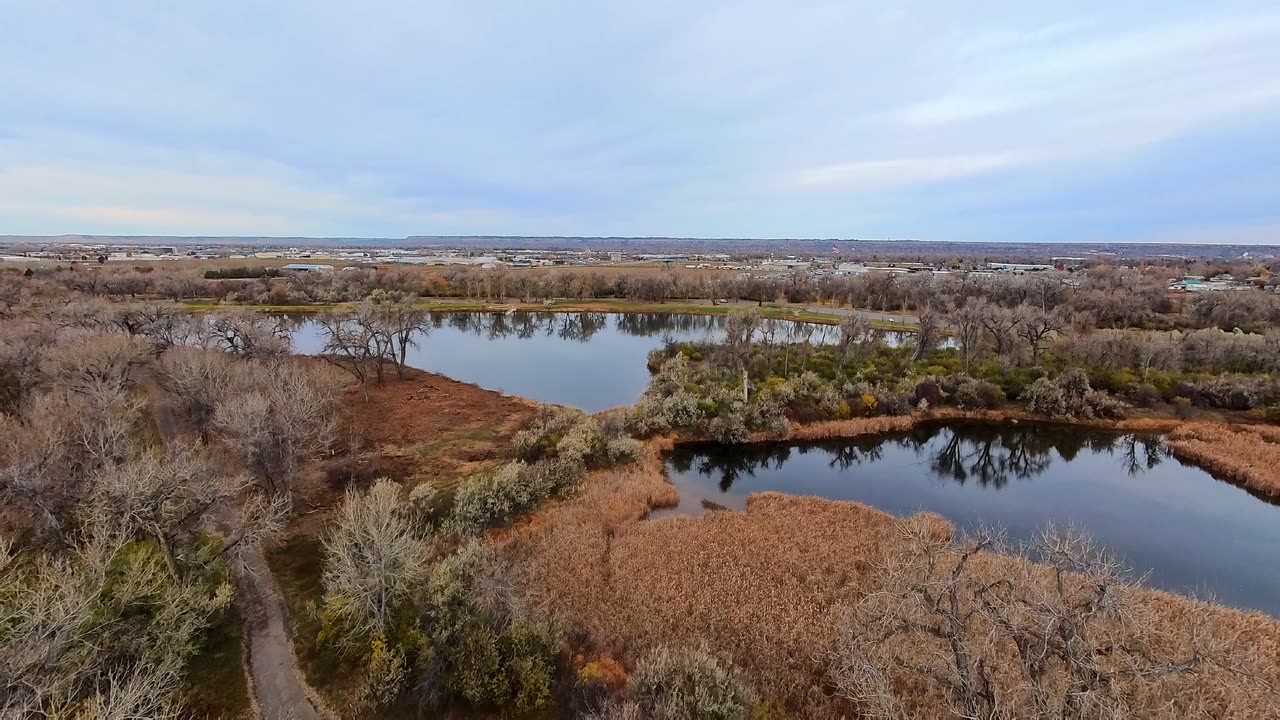 Watch Riverfront Park by drone
Riverfront Park
A November morning along the Yellowstone River: ducks on the lake, the ponds and cattail marsh, the cottonwood trails and the river below the bluffs.
1 min 12 sec
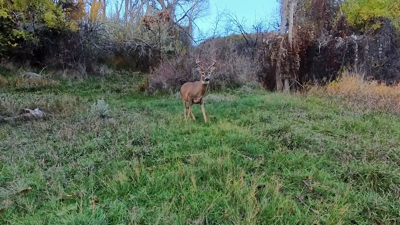 Watch Two Moon Park by drone
Two Moon Park
An evening flight at sunset: the trail and boardwalk through the cottonwoods, a buck in the clearing, and the creek and footbridge from above.
1 min 6 sec
Common questions
- Can you fly a drone in Billings? Isn't most of the city near the airport?
- How high can a drone fly for photos and video?
- Can drones fly in wind, rain, cold or snow? Do you shoot in winter?
- How long does a drone shoot take, and when do I get the files?
- What is the difference between aerial photography and drone photography?